
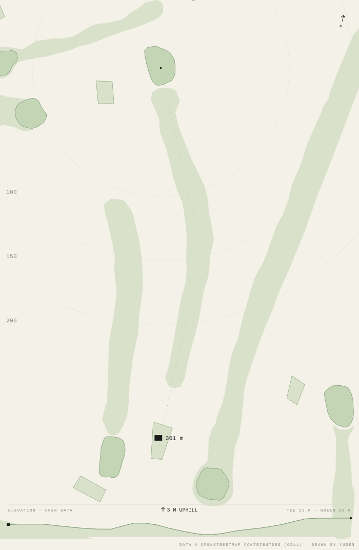
Rings at 100 · 150 · 200 m from the green centre · plays bottom to top
Hole 15
Par 4 · Index 8 · The courseThe green · from the map
Centre, front and back are measured; the caddie in the app reads the same three points. Green depth 31 m along the line of play.
The ground · from open elevation data
Tee 23 m above sea level, green 26 m, and 7 m between the highest and lowest point of the walk. Uphill is played as the distance plus the climb; downhill as the distance minus two thirds of the drop — the rule caddies used before rangefinders, and near enough on a still day. Sampled every ten metres along the line of play from Copernicus DEM GLO-30, a thirty-metre model of the whole world, accurate to about 4 m. It reads the top of what is there, so a tree-lined tee can read high. Copernicus DEM © DLR/Airbus, provided under Copernicus by the European Union and ESA. The same numbers are in the open data.
Where this is
Whole course →Tap any number to go there.
On the tee
Distance to this green, live, from where you stand.
YŪGEN reads the same green — front, centre, back — and tells you the number as you walk. Free.
Get the appOn your own site
<iframe src="https://golf.soyugen.com/embed/hole/osm%3Aw4979763/course/15" width="100%" height="900" style="border:0" loading="lazy" title="Hamersley Golf Course hole 15"></iframe>